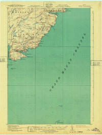
1918 Map of Cutler
USGS Topo · Published 1932About this map
The Downeast shoreline of Washington County is defined by its deep maritime indentations and high coastal ridges in this 1917 survey. The settlement of Cutler sits at the head of a sheltered harbor protected by Western Head and the islands of Little River I, serving as a focal point for the local fishing and seafaring community. Inland, the landscape is a complex network of wetlands and modest peaks, including Harmon Heath, Cocker Meadows, and Cocoa Mtn.
Find a feature on this map
49 named features on this map. Tap any name to fly to it.
Don’t see what you’re looking for? This feature index may not catch every label — zoom into the map to look around manually.
Map Details
Editions of this 1918 Cutler Map
5 editions found
Other maps of this area

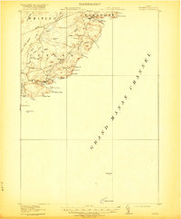
1907 · Eastport
USGS Topo · 1:48,000

1908 · Eastport
USGS Topo · 1:62,500

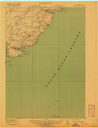
1917 · Cutler
USGS Topo · 1:62,500

1918 · Machias
USGS Topo · 1:62,500

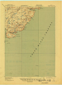
1918 · Cutler
USGS Topo · 1:62,500

1941 · Machias
USGS Topo · 1:62,500

1941 · Gardner Lake
USGS Topo · 1:62,500

1943 · Gardner Lake
USGS Topo · 1:62,500

1943 · Eastport
USGS Topo · 1:62,500

1945 · Eastport
USGS Topo · 1:62,500