
1918 Map of Cutler
USGS Topo · Published 1918About this map
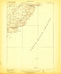
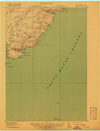
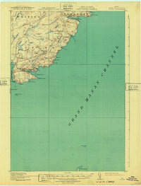
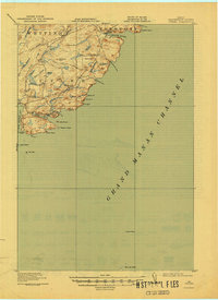
Cutler village sits at the heart of this Downeast Maine coastal survey, centered on the sheltered waters of the Little River. The landscape is dominated by high coastal ridges and granite points, with Pond Ridge and Great Ridge providing a backdrop to the maritime activity along the Grand Manan Channel. Notable for genealogists are the locations of School No 2 and the Moose River School, which served the scattered farming and fishing families during the early twentieth century. The map details a complex shoreline of coves and heads, from the lighthouse-guarded Little River I to the remote Machias Seal I and North Rock far offshore. Inland, the terrain is characterized by numerous heaths and small ponds like Norse Pond and Ackley Pond, drained by a network of brooks such as Bother Brook and Bagley Bk, illustrating the traditional New England balance of seafaring and rugged upland agriculture.
Find a feature on this map
48 named features on this map. Tap any name to fly to it.
Don’t see what you’re looking for? This feature index may not catch every label — zoom into the map to look around manually.
Map Details
Editions of this 1918 Cutler Map
5 editions found
Other maps of this area

1907 · Eastport
USGS Topo · 1:48,000

1908 · Eastport
USGS Topo · 1:62,500

1917 · Cutler
USGS Topo · 1:62,500

1918 · Machias
USGS Topo · 1:62,500

1941 · Machias
USGS Topo · 1:62,500

1941 · Gardner Lake
USGS Topo · 1:62,500

1943 · Gardner Lake
USGS Topo · 1:62,500

1943 · Eastport
USGS Topo · 1:62,500

1945 · Eastport
USGS Topo · 1:62,500

1949 · Whiting
USGS Topo · 1:24,000