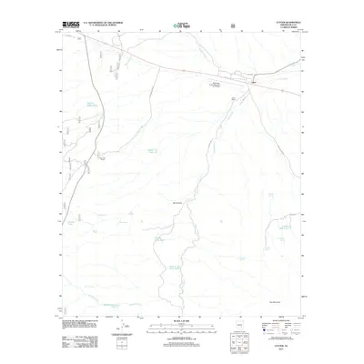
2011 Map of Cutter
USGS Topo · Published 2011About this map
Cutter stands as the primary settlement node in this high-desert landscape, situated where the Globe-San Carlos Regional Air Facility meets the historical ranching corridors of Gila County. The settlement pattern is defined by traditional holdings like the Cutter Ranch and Bar F Bar Ranch, reflecting the region's enduring agricultural identity. The drainage network of Ramboz Wash and Ranch Creek dictates the placement of essential water infrastructure, including numerous stock tanks and named springs such as Haunted Spring and Coyote Hole Spring. To the south, the terrain rises toward Hog Mountain, while the deep incision of Bull Canyon reveals the complex topography of the basin. The road network, including the Coolidge Dam Rd and Old Winkelman Rd, serves as a modern layer over these long-established desert routes, connecting isolated ranching outposts with regional transportation hubs.
Find a feature on this map
32 named features on this map. Tap any name to fly to it.
Don’t see what you’re looking for? This feature index may not catch every label — zoom into the map to look around manually.
Map Details
Editions of this 2011 Cutter Map
This is the sole edition of this map. No revisions or reprints were ever made.
Other maps of this area
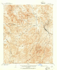
1901 · Globe
USGS Topo · 1:62,500
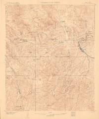
1902 · Globe
USGS Topo · 1:62,500
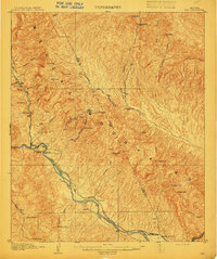
1910 · Ray
USGS Topo · 1:62,500
1915 · Christmas
USGS Topo · 1:62,500
1917 · Christmas
USGS Topo · 1:62,500
1945 · Globe
USGS Topo · 1:24,000
1954 · Mesa
USGS Topo · 1:250,000
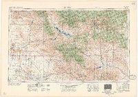
1957 · Mesa
USGS Topo · 1:250,000
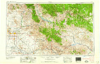
1958 · Mesa
USGS Topo · 1:250,000
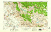
1960 · Mesa
USGS Topo · 1:250,000