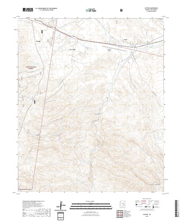
2021 Map of Cutter
USGS Topo · Published 2021About this map
Cutter and the eastern fringes of Globe occupy the northern corridor of this Gila County survey, where the desert landscape transitions from residential outskirts into the protected expanses of the Tonto National Forest. The geography is defined by a network of drainage systems including Ramboz Wash and Gilson Wash, which flow toward the southern mountain foothills. Transportation and logistics are central to the area's layout, anchored by the San Carlos Apache Airport and the winding Coolidge Dam Rd.
Find a feature on this map
38 named features on this map. Tap any name to fly to it.
Don’t see what you’re looking for? This feature index may not catch every label — zoom into the map to look around manually.
Map Details
Editions of this 2021 Cutter Map
This is the sole edition of this map. No revisions or reprints were ever made.
Other maps of this area

1901 · Globe
USGS Topo · 1:62,500

1902 · Globe
USGS Topo · 1:62,500

1910 · Ray
USGS Topo · 1:62,500

1915 · Christmas
USGS Topo · 1:62,500

1917 · Christmas
USGS Topo · 1:62,500

1945 · Globe
USGS Topo · 1:24,000

1954 · Mesa
USGS Topo · 1:250,000

1957 · Mesa
USGS Topo · 1:250,000

1958 · Mesa
USGS Topo · 1:250,000

1960 · Mesa
USGS Topo · 1:250,000