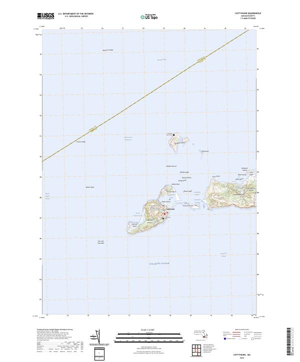
2024 Map of Cuttyhunk
USGS Topo · Published 2024About this map
Cuttyhunk Island and the southwestern end of the Elizabeth Islands chain define this maritime landscape where Buzzards Bay meets Vineyard Sound. The village of Cuttyhunk serves as the primary hub, clustered around Cuttyhunk Pond and Cuttyhunk Harbor, with a network of local routes including W End Rd and Tower Hill Rd providing access to the shore.
Find a feature on this map
42 named features on this map. Tap any name to fly to it.
Don’t see what you’re looking for? This feature index may not catch every label — zoom into the map to look around manually.
Map Details
Editions of this 2024 Cuttyhunk Map
This is the sole edition of this map. No revisions or reprints were ever made.
Other maps of this area

1885 · New Bedford
USGS Topo · 1:62,500

1885 · Sakonnet
USGS Topo · 1:62,500

1887 · Gay Head
USGS Topo · 1:62,500

1888 · New Bedford
USGS Topo · 1:62,500

1888 · Fall River
USGS Topo · 1:62,500

1888 · Sakonnet
USGS Topo · 1:62,500

1889 · Gay Head
USGS Topo · 1:62,500

1893 · Gay Head
USGS Topo · 1:62,500

1893 · Sakonnet
USGS Topo · 1:62,500

1893 · Fall River
USGS Topo · 1:62,500