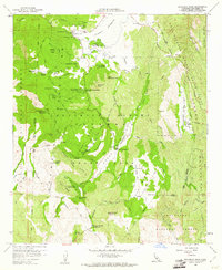
1960 Map of Cuyamaca Peak
USGS Topo · Published 1961About this map
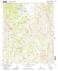
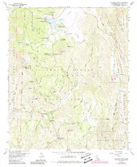
Cuyamaca Reservoir serves as the central focal point of this high-altitude landscape, held in place by the Cuyamaca Dam near the Cuyamaca Lodge. This 1960 survey illustrates a region largely defined by public recreation and conservation, encompassing much of Cuyamaca Rancho State Park and the surrounding Cleveland National Forest. The map documents the varied recreational infrastructure of the era, from organized sites like Camp Wolahi and Camp Tapawingo to the California Riding and Hiking Trail. Historical industry leaves its mark at the Stonewall Mine near the lake, while the natural topography rises sharply toward Middle Peak and Cuyamaca Peak, the latter hosting a prominent lookout station. Traces of indigenous history are acknowledged at the Indian Exhibit along the Sweetwater River, positioned between Arrowmakers Ridge and the broad expanse of Green Valley.
Find a feature on this map
66 named features on this map. Tap any name to fly to it.
Don’t see what you’re looking for? This feature index may not catch every label — zoom into the map to look around manually.
Map Details
Editions of this 1960 Cuyamaca Peak Map
6 editions found
Other maps of this area

1903 · Cuyamaca
USGS Topo · 1:125,000

1903 · Ramona
USGS Topo · 1:125,000

1904 · Southern California Sheet No. 2
USGS Topo · 1:250,000

1931 · Vallecito
USGS Topo · 1:125,000

1931 · Carrizo
USGS Topo · 1:125,000

1939 · Santa Ysabel
USGS Topo · 1:62,500

1939 · Borrego
USGS Topo · 1:62,500

1942 · Borego
USGS Topo · 1:62,500

1942 · Cuyapaipe
USGS Topo · 1:62,500

1942 · Cuyamaca Peak
USGS Topo · 1:62,500