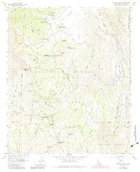
1960 Map of Cuyamaca Peak
USGS Topo · Published 1984About this map
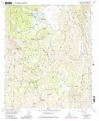
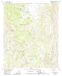
Cuyamaca Dam and the surrounding Cuyamaca Reservoir anchor this high-elevation landscape within the Cleveland National Forest. By the mid-20th century, the area had transitioned from its resource extraction roots, evidenced by the Stonewall Mine, into a major recreational hub. The map detail highlights an extensive network of youth and specialized camps, including Camp Wolahi, Camp Tapawingo, and Camp Hual-Cu-Cuish.
Find a feature on this map
72 named features on this map. Tap any name to fly to it.
Don’t see what you’re looking for? This feature index may not catch every label — zoom into the map to look around manually.
Map Details
Editions of this 1960 Cuyamaca Peak Map
6 editions found
Other maps of this area

1903 · Cuyamaca
USGS Topo · 1:125,000

1903 · Ramona
USGS Topo · 1:125,000

1904 · Southern California Sheet No. 2
USGS Topo · 1:250,000

1931 · Vallecito
USGS Topo · 1:125,000

1931 · Carrizo
USGS Topo · 1:125,000

1939 · Santa Ysabel
USGS Topo · 1:62,500

1939 · Borrego
USGS Topo · 1:62,500

1942 · Borego
USGS Topo · 1:62,500

1942 · Cuyapaipe
USGS Topo · 1:62,500

1942 · Cuyamaca Peak
USGS Topo · 1:62,500