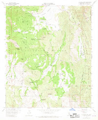
1960 Map of Cuyamaca Peak
USGS Topo · Published 1970About this map
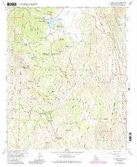
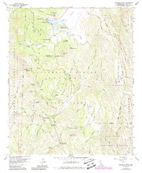
Cuyamaca Rancho State Park dominates this 1960 landscape, centered on the high ridges of Cuyamaca Peak and Middle Peak. The map documents a transition from the area's resource-extraction past to its mid-century role as a recreation hub, evidenced by the site of the Stonewall Mine near the banks of Cuyamaca Reservoir. Traces of earlier habitation and land use are visible through features like the Indian Exhibit and the Milk Ranch northwest of Japacha Peak. The drainage patterns are clearly defined, with the Sweetwater River flowing south through Green Valley Falls and Juaquapin Creek cutting through the East Mesa terrain. Numerous youth camps, including Camp Wolahi and Camp Tapawingo, are established along the margins of the reservoir and within the Cleveland National Forest, reflecting the era's focus on organized outdoor education and public land access.
Find a feature on this map
63 named features on this map. Tap any name to fly to it.
Don’t see what you’re looking for? This feature index may not catch every label — zoom into the map to look around manually.
Map Details
Editions of this 1960 Cuyamaca Peak Map
6 editions found
Other maps of this area

1903 · Cuyamaca
USGS Topo · 1:125,000

1903 · Ramona
USGS Topo · 1:125,000

1904 · Southern California Sheet No. 2
USGS Topo · 1:250,000

1931 · Vallecito
USGS Topo · 1:125,000

1931 · Carrizo
USGS Topo · 1:125,000

1939 · Santa Ysabel
USGS Topo · 1:62,500

1939 · Borrego
USGS Topo · 1:62,500

1942 · Borego
USGS Topo · 1:62,500

1942 · Cuyapaipe
USGS Topo · 1:62,500

1942 · Cuyamaca Peak
USGS Topo · 1:62,500