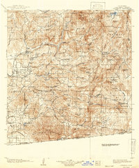
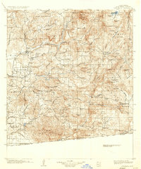
1903 Map of Cuyamaca
USGS Topo · Published 1942About this map
The San Diego Cuyamaca and Eastern R.R. terminates at Foster, serving as a vital link for the agricultural and ranching communities of the inland valleys at the turn of the century. This landscape is defined by the transition from the developing coastal plains around El Cajon and Santee to the high peaks of the Cuyamaca range. Engineering of the era is evident in the multiple tunnels, including the Monte Tunnel and Lankershim Tunnel, designed to manage water or rail passage through the granite ridges. To the south, the international boundary with Baja California is clearly delineated near the settlement of Tecate. Water management is a primary focus, anchored by the Cuyamaca Reservoir and the Barrett Dam site on Cottonwood Creek, reflecting the early infrastructure required to support the region's growth. The map also identifies the Capitan Grande Ind. Res. and Sequan Ind. Res., marking protected lands within the mountain canyons.
Find a feature on this map
153 named features on this map. Tap any name to fly to it.
Don’t see what you’re looking for? This feature index may not catch every label — zoom into the map to look around manually.
Map Details
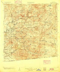
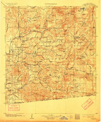
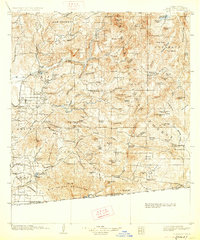
Editions of this 1903 Cuyamaca Map
6 editions found
Other maps of this area

1893 · El Cajon
USGS Topo · 1:62,500

1893 · Escondido
USGS Topo · 1:62,500

1901 · Elcajon
USGS Topo · 1:62,500

1901 · Escondido
USGS Topo · 1:62,500

1901 · San Luis Rey
USGS Topo · 1:125,000

1903 · Cuyamaca
USGS Topo · 1:125,000

1903 · La Jolla
USGS Topo · 1:62,500

1903 · Elcajon
USGS Topo · 1:62,500

1903 · Ramona
USGS Topo · 1:125,000

1904 · San Diego
USGS Topo · 1:62,500