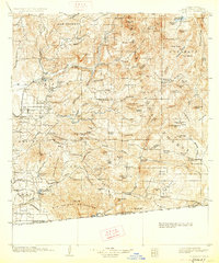
1903 Map of Cuyamaca
USGS Topo · Published 1927About this map
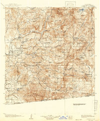
The Cleveland National Forest dominates this expansive look at San Diego County's back country, where the landscape transitions from the developed El Cajon toward the high peaks of the Cuyamaca range. In this era, water management was reshaping the terrain, evidenced by the Cuyamaca Reservoir and the Morena Dam, which served the growing needs of the arid region. The San Diego Cuyamaca and Eastern R.R. connects the lower valley settlements like Lakeside and Santee to the foothills, while the interior remains a network of remote valleys and family-named landmarks. Places like Honey Springs Ranch and the Pine Valley Station mark important stops along the routes through the Viejas Valley and Jamul Valley. To the south, the survey reaches the international border at Tecate, capturing the ranching and early transit corridors such as the Kimball Grade before the mid-century expansion of modern highway systems changed these rural connections.
Find a feature on this map
146 named features on this map. Tap any name to fly to it.
Don’t see what you’re looking for? This feature index may not catch every label — zoom into the map to look around manually.
Map Details
Editions of this 1903 Cuyamaca Map
6 editions found
Other maps of this area

1893 · El Cajon
USGS Topo · 1:62,500

1893 · Escondido
USGS Topo · 1:62,500

1901 · Elcajon
USGS Topo · 1:62,500

1901 · Escondido
USGS Topo · 1:62,500

1901 · San Luis Rey
USGS Topo · 1:125,000

1903 · Cuyamaca
USGS Topo · 1:125,000

1903 · La Jolla
USGS Topo · 1:62,500

1903 · Elcajon
USGS Topo · 1:62,500

1903 · Ramona
USGS Topo · 1:125,000

1904 · San Diego
USGS Topo · 1:62,500