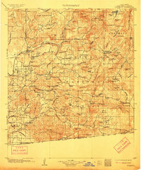
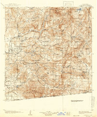
1903 Map of Cuyamaca
USGS Topo · Published 1912About this map
The Capitan Grande Indian Reservation and the sprawling Cleveland National Forest dominate this inland San Diego County landscape at the turn of the century. The San Diego Cuyamaca and Eastern R.R. connects the growing valley settlements of Santee, Bostonia, and Elcajon to the coastal markets. This era of infrastructure development is evidenced by the prominent marking of the Flume and several major water projects, including the Cuyamaca Reservoir and the sites of Barrett Dam and Morena Dam. The southern terrain is particularly intricate, following Cottonwood Creek and the Otay River toward the United States Mexico border. High peaks such as Cuyamaca Pk. and Middle Peak rise above established mountain stops like Descanso and Guatay. Local history is preserved in ranch names and small outposts such as Honey Springs Ranch and the community of Dulzura, while engineering feats are noted at the Cape Horn Tunnel and Monte Tunnel.
Find a feature on this map
146 named features on this map. Tap any name to fly to it.
Don’t see what you’re looking for? This feature index may not catch every label — zoom into the map to look around manually.
Map Details
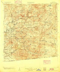
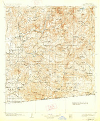
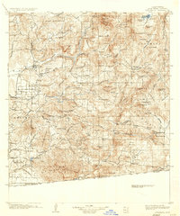
Editions of this 1903 Cuyamaca Map
6 editions found
Other maps of this area

1893 · El Cajon
USGS Topo · 1:62,500

1893 · Escondido
USGS Topo · 1:62,500

1901 · Elcajon
USGS Topo · 1:62,500

1901 · Escondido
USGS Topo · 1:62,500

1901 · San Luis Rey
USGS Topo · 1:125,000

1903 · Cuyamaca
USGS Topo · 1:125,000

1903 · La Jolla
USGS Topo · 1:62,500

1903 · Elcajon
USGS Topo · 1:62,500

1903 · Ramona
USGS Topo · 1:125,000

1904 · San Diego
USGS Topo · 1:62,500