
1943 Map of Cuyler
USGS Topo · Published 1960About this map
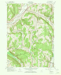
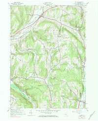
The Lehigh Valley railroad cuts through the north, following the natural corridor of the Tioughnioga River and serving the village of Cuyler during the mid-1940s. This rural landscape across the Cortland and Chenango county line is defined by a decentralized pattern of small settlements and neighborhood institutions. Small upland communities like Cheningo, Union Valley, and New Boston appear alongside a dense network of district schoolhouses including Black Warrior Sch and Dog Hollow Sch, reflecting a social structure tied to local geography rather than centralized towns.
Find a feature on this map
39 named features on this map. Tap any name to fly to it.
Don’t see what you’re looking for? This feature index may not catch every label — zoom into the map to look around manually.
Map Details
Editions of this 1943 Cuyler Map
4 editions found

Other maps of this area

1897 · Cazenovia
USGS Topo · 1:62,500

1899 · Cazenovia
USGS Topo · 1:62,500

1900 · Tully
USGS Topo · 1:62,500

1903 · Cortland
USGS Topo · 1:62,500

1904 · Pitcher
USGS Topo · 1:62,500
1943 · Tully
USGS Topo · 1:24,000

1943 · De Ruyter
USGS Topo · 1:24,000

1943 · South Ostelic
USGS Topo · 1:24,000

1943 · Cincinnatus
USGS Topo · 1:24,000
1943 · Erieville
USGS Topo · 1:24,000