Loading...
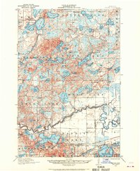
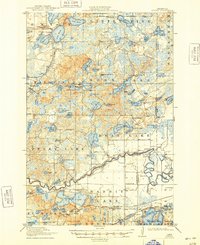
Loading map...1913 Map of Cuyuna
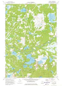
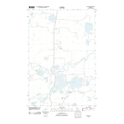
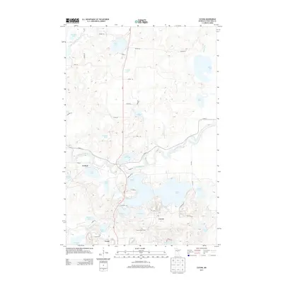
USGS Topo · Published 1970About this map
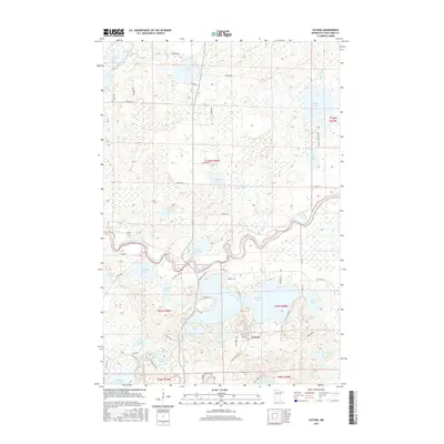
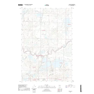
Cuyuna and the surrounding lakes of Crow Wing County are captured here just before the First World War, revealing a landscape defined by its complex hydrology and early industrial rail lines. The Mississippi River meanders through the southern half of the sheet, bordered by the Minneapolis St. Paul and Sault Ste. Marie and Northern Pacific railroads. These lines were vital to the development of settlements like Iron Hub and Wolford.
Find a feature on this map
86 named features on this map. Tap any name to fly to it.
Don’t see what you’re looking for? This feature index may not catch every label — zoom into the map to look around manually.
Map Details
Date Portrayed1913
Date Published1970
PublisherU.S. Geological Survey
Map TypeTopographic
Scale1:62,500
Physical Dimensions21.53 x 27.23 inches
Editions of this 1913 Cuyuna Map
2 editions found

Historical Maps of Crosby Through Time
8 maps found

Featured Locations
Source Details
SourceU.S. Geological Survey
CopyrightPublic Domain