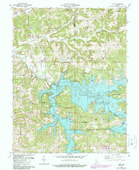
1980 Map of Cuzco
USGS Topo · Published 1989About this map
Cuzco and Crystal occupy the northern reaches of this landscape, situated above the extensive waters of Patoka Lake. This 1980s revision illustrates the intersection of rural Indiana settlements with a major reservoir project, featuring numerous public lands including the Lick Fork State Recreation Area and Newton-Stewart State Recreation Area. The flooding of the Patoka River valley transformed the local geography, creating a complex shoreline that surrounds former high points like Tillery Hill.
Find a feature on this map
51 named features on this map. Tap any name to fly to it.
Don’t see what you’re looking for? This feature index may not catch every label — zoom into the map to look around manually.
Map Details
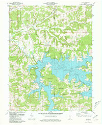
Editions of this 1980 Cuzco Map
2 editions found
Other maps of this area

1951 · Hillham
USGS Topo · 1:24,000

1951 · French Lick
USGS Topo · 1:24,000

1954 · Dubois
USGS Topo · 1:24,000

1955 · Saint Anthony
USGS Topo · 1:24,000

1956 · Greenbrier
USGS Topo · 1:24,000

1956 · Taswell
USGS Topo · 1:24,000

1956 · Rusk
USGS Topo · 1:24,000

1956 · Vincennes
USGS Topo · 1:250,000

1957 · Vincennes
USGS Topo · 1:250,000

1957 · Cuzco
USGS Topo · 1:24,000