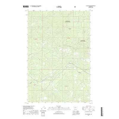
2020 Map of Cyclone Creek
USGS Topo · Published 2020About this map
The White River flows through the center of this high-elevation landscape, marking the topographical divide between the King Co and Pierce Co boundary. Dominated by the managed timberlands and protected areas of the Snoqualmie National Forest, the terrain is defined by steep ridges and glacial drainage patterns. The northern section is largely contained within the Green River Watershed, where high peaks like Grass Mtn overlook a series of small, isolated alpine water bodies including Beaverdam Lake and Lunn Lake. Historical access to these river valleys is preserved through forest development routes such as Nat For Dev Rd 7110 and named corridors like Bridge Camp Rd. This survey documents the intersection of essential hydrography, including the Clearwater River and Cyclone Cr, within a region critical for regional water management and forestry operations.
Find a feature on this map
25 named features on this map. Tap any name to fly to it.
Don’t see what you’re looking for? This feature index may not catch every label — zoom into the map to look around manually.
Map Details
Editions of this 2020 Cyclone Creek Map
This is the sole edition of this map. No revisions or reprints were ever made.
Other maps of this area

1913 · Cedar Lake
USGS Topo · 1:125,000

1953 · Eagle Gorge
USGS Topo · 1:24,000

1953 · Cumberland
USGS Topo · 1:24,000

1956 · Greenwater
USGS Topo · 1:62,500

1956 · Enumclaw
USGS Topo · 1:62,500
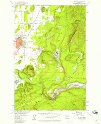
1956 · Enumclaw
USGS Topo · 1:24,000

1957 · Wenatchee
USGS Topo · 1:250,000

1960 · Bandera
USGS Topo · 1:62,500

1975 · Snoqualmie Pass
USGS Topo · 1:100,000
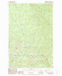
1986 · Bearhead Mtn
USGS Topo · 1:24,000