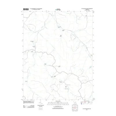
2012 Map of Cyclone Hollow
USGS Topo · Published 2012About this map
Huff sits in the northern reaches of this Missouri landscape, where the terrain is defined by an intricate network of named hollows and winding creek branches. The area around Cyclone Hollow and Mule Barn Hollow reveals a settlement pattern of rural farmsteads and specialized industry, notably including James Bakers Sawmill. Family and community history is preserved at sites like New Hope Cemetery and Dry Branch Cemetery, which are tucked away near the tributaries of Indian Creek. The geography here is notably carved by water, from the small Artesian Lake to the significant drainages of Little Indian Creek and the California Branch. This survey documents a region where the road network, such as Co Road 303 and Strauser Farm Ln, often follows the natural contours of the hollows, reflecting a long-standing reliance on the local topography for navigation and land use.
Find a feature on this map
45 named features on this map. Tap any name to fly to it.
Don’t see what you’re looking for? This feature index may not catch every label — zoom into the map to look around manually.
Map Details
Editions of this 2012 Cyclone Hollow Map
This is the sole edition of this map. No revisions or reprints were ever made.
Other maps of this area

1901 · De Soto
USGS Topo · 1:125,000

1903 · Sullivan
USGS Topo · 1:125,000

1934 · Meramec State Park
USGS Topo · 1:24,000

1937 · Meramec State Park
USGS Topo · 1:24,000

1946 · Richwoods
USGS Topo · 1:62,500

1946 · Union
USGS Topo · 1:62,500

1947 · Sullivan
USGS Topo · 1:62,500

1947 · St. Clair
USGS Topo · 1:62,500

1948 · Richwoods
USGS Topo · 1:62,500

1948 · Union
USGS Topo · 1:62,500