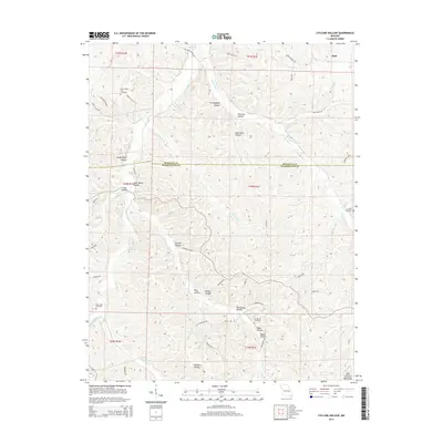
2015 Map of Cyclone Hollow
USGS Topo · Published 2015About this map
The Saint Francois Mountains define the southern landscape of this 2015 survey, where the border of Franklin Co and Washington Co divides a terrain of named hollows and creek branches. In the northern reaches, the small settlement of Huff sits near the confluence of Girard Br and Yellow Dog Br. The map reveals a deeply rooted rural geography, characterized by small family-named landmarks like Granddaddy Hollow, Mule Barn Hollow, and Sheep Ranch Hollow. These names suggest a legacy of agriculture and livestock that persists even as modern roads like Indian Hills Dr and Durango Dr provide access to the interior.
Find a feature on this map
58 named features on this map. Tap any name to fly to it.
Don’t see what you’re looking for? This feature index may not catch every label — zoom into the map to look around manually.
Map Details
Editions of this 2015 Cyclone Hollow Map
This is the sole edition of this map. No revisions or reprints were ever made.
Other maps of this area

1901 · De Soto
USGS Topo · 1:125,000

1903 · Sullivan
USGS Topo · 1:125,000

1934 · Meramec State Park
USGS Topo · 1:24,000

1937 · Meramec State Park
USGS Topo · 1:24,000

1946 · Richwoods
USGS Topo · 1:62,500

1946 · Union
USGS Topo · 1:62,500

1947 · Sullivan
USGS Topo · 1:62,500

1947 · St. Clair
USGS Topo · 1:62,500

1948 · Richwoods
USGS Topo · 1:62,500

1948 · Union
USGS Topo · 1:62,500