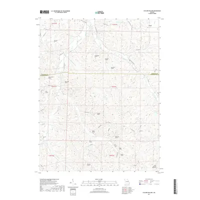
2017 Map of Cyclone Hollow
USGS Topo · Published 2017About this map
Cyclone Hollow characterizes the deeply dissected Ozark landscape on the border of Franklin and Washington counties. This 2017 survey reveals a terrain defined more by its intricate drainages and named hollows than by large-scale urban development. Deep ravines such as Granddaddy Hollow, Simmons Hollow, and Mule Barn Hollow funnel water toward larger streams like Indian Creek and Little Indian Creek.
Find a feature on this map
65 named features on this map. Tap any name to fly to it.
Don’t see what you’re looking for? This feature index may not catch every label — zoom into the map to look around manually.
Map Details
Editions of this 2017 Cyclone Hollow Map
This is the sole edition of this map. No revisions or reprints were ever made.
Other maps of this area

1901 · De Soto
USGS Topo · 1:125,000

1903 · Sullivan
USGS Topo · 1:125,000

1934 · Meramec State Park
USGS Topo · 1:24,000

1937 · Meramec State Park
USGS Topo · 1:24,000

1946 · Richwoods
USGS Topo · 1:62,500

1946 · Union
USGS Topo · 1:62,500

1947 · Sullivan
USGS Topo · 1:62,500

1947 · St. Clair
USGS Topo · 1:62,500

1948 · Richwoods
USGS Topo · 1:62,500

1948 · Union
USGS Topo · 1:62,500