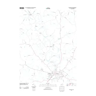
2013 Map of Cynthiana
USGS Topo · Published 2013About this map
Cynthiana serves as the focal point of this Harrison County landscape, situated along the winding curves of the S Fork Licking River. The town's layout is defined by its historic core and several significant burial grounds, including the expansive Battle Grove Cemetery and Saint Edwards Cem to the south. The surrounding countryside is a network of smaller communities such as Belmont, Poindexter, and Garnett, linked by a web of local pikes and lanes like Salem Pike and Robinson Union Rd.
Find a feature on this map
113 named features on this map. Tap any name to fly to it.
Don’t see what you’re looking for? This feature index may not catch every label — zoom into the map to look around manually.
Map Details
Editions of this 2013 Cynthiana Map
This is the sole edition of this map. No revisions or reprints were ever made.
Other maps of this area

1929 · Cynthiana
USGS Topo · 1:48,000

1930 · Falmouth
USGS Topo · 1:48,000

1934 · Cynthiana
USGS Topo · 1:62,500

1936 · Falmouth
USGS Topo · 1:62,500

1952 · Shady Nook
USGS Topo · 1:24,000

1952 · Claysville
USGS Topo · 1:24,000

1953 · Millersburg
USGS Topo · 1:24,000

1953 · Berry
USGS Topo · 1:24,000

1953 · Breckinridge
USGS Topo · 1:24,000

1953 · Kelat
USGS Topo · 1:24,000