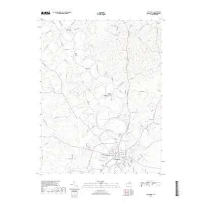
2019 Map of Cynthiana
USGS Topo · Published 2019About this map
Cynthiana serves as the focal point of this Harrison County survey, situated along the winding banks of the South Fork Licking River. The landscape is defined by the river’s deep meanders and a dense network of country roads connecting rural outposts like Robinson, Poindexter, and Garnett. This modern map highlights a significant concentration of local heritage sites, including the prominent Battle Grove Cem and Saint Edwards Cem on the outskirts of the primary settlement. The terrain transitions from the developed streets of Belmont to the rolling countryside marked by Sugar Tree Grove and several tributary streams such as Mill Cr and Flat Run. The presence of the Poindexter Bridge and numerous named family-routes like Grover Criswell Rd provide specific geographical markers for local history and genealogical research.
Find a feature on this map
102 named features on this map. Tap any name to fly to it.
Don’t see what you’re looking for? This feature index may not catch every label — zoom into the map to look around manually.
Map Details
Editions of this 2019 Cynthiana Map
This is the sole edition of this map. No revisions or reprints were ever made.
Other maps of this area

1929 · Cynthiana
USGS Topo · 1:48,000

1930 · Falmouth
USGS Topo · 1:48,000

1934 · Cynthiana
USGS Topo · 1:62,500

1936 · Falmouth
USGS Topo · 1:62,500

1952 · Shady Nook
USGS Topo · 1:24,000

1952 · Claysville
USGS Topo · 1:24,000

1953 · Millersburg
USGS Topo · 1:24,000

1953 · Berry
USGS Topo · 1:24,000

1953 · Breckinridge
USGS Topo · 1:24,000

1953 · Kelat
USGS Topo · 1:24,000