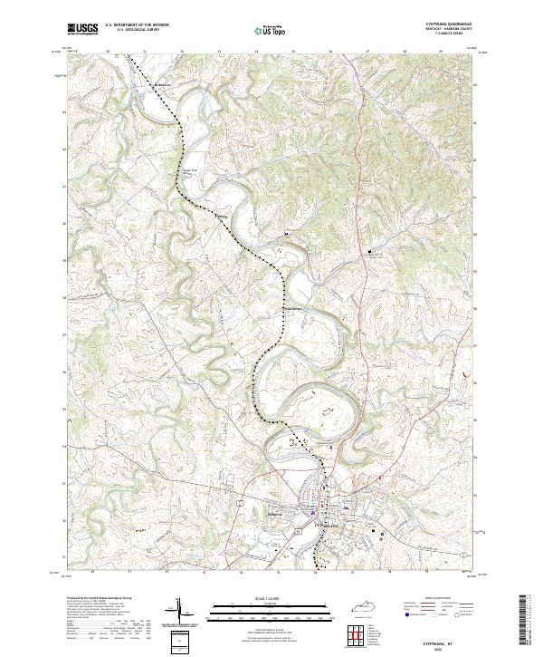
2022 Map of Cynthiana
USGS Topo · Published 2022About this map
The South Fork Licking River meanders through the heart of Harrison County, anchoring the regional landscape and the historic seat of Cynthiana. This contemporary survey reveals a densely layered history of settlement and burial, with significant local genealogy sites like Battle Grove Cem and Cherry Grove Cem concentrated near the urban center. The river's path is flanked by smaller communities such as Poindexter and Garnett, while northern reaches include the hamlet of Robinson and the Sugar Tree Grove area. Civil life is marked by the Harrison County Justice Center, while the rural periphery is dotted with family-named landmarks and historical church grounds like Saint Edwards Cem. The mapping of local tributaries, including Flat Run and Grays Run, illustrates the enduring drainage patterns that have shaped the agricultural and residential development of this Kentucky bluegrass region.
Find a feature on this map
99 named features on this map. Tap any name to fly to it.
Don’t see what you’re looking for? This feature index may not catch every label — zoom into the map to look around manually.
Map Details
Editions of this 2022 Cynthiana Map
This is the sole edition of this map. No revisions or reprints were ever made.
Other maps of this area

1929 · Cynthiana
USGS Topo · 1:48,000

1930 · Falmouth
USGS Topo · 1:48,000

1934 · Cynthiana
USGS Topo · 1:62,500

1936 · Falmouth
USGS Topo · 1:62,500

1952 · Shady Nook
USGS Topo · 1:24,000

1952 · Claysville
USGS Topo · 1:24,000

1953 · Millersburg
USGS Topo · 1:24,000

1953 · Berry
USGS Topo · 1:24,000

1953 · Breckinridge
USGS Topo · 1:24,000

1953 · Kelat
USGS Topo · 1:24,000