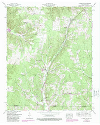
1951 Map of Cypress Inn
USGS Topo · Published 1988About this map
Cypress Inn sits at the heart of this landscape along the Tennessee-Alabama border, where the headwaters of Cypress Creek and its many tributaries, such as Rich Branch and Weatherford Creek, carve through the terrain. The modern corridor of the Natchez Trace Parkway bisects the region, following ancient travel routes through Wayne County. This 1951 survey, with 1980s updates, documents a rural community centered around local landmarks and family legacies, including Scott Chapel and Mt Hope Ch. Genealogists will find a dense network of family-named burial grounds, from Moore Cem and Powell Cem in the west to Lawson Cem near the creek. The map captures a transition as the Tennessee Valley Authority documented the land, showing both the established agrarian character and mid-century infrastructure like the Pumping station near the state line.
Find a feature on this map
34 named features on this map. Tap any name to fly to it.
Don’t see what you’re looking for? This feature index may not catch every label — zoom into the map to look around manually.
Map Details
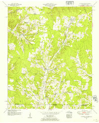
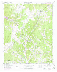
Editions of this 1951 Cypress Inn Map
3 editions found
Other maps of this area

1905 · Waynesboro
USGS Topo · 1:125,000

1914 · Muscle Shoals
USGS Topo · 1:48,000

1916 · Muscle Shoals
USGS Topo · 1:62,500

1924 · Gravelly Springs
USGS Topo · 1:48,000

1926 · Gravelly Springs
USGS Topo · 1:62,500

1935 · Wright
USGS Topo · 1:24,000

1936 · Collinwood
USGS Topo · 1:24,000

1936 · Light
USGS Topo · 1:24,000

1936 · Threet
USGS Topo · 1:24,000

1936 · Cypress Inn
USGS Topo · 1:24,000