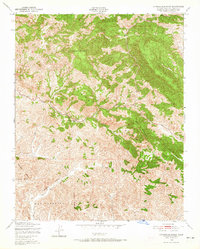
1948 Map of Cypress Mountain
USGS Topo · Published 1965About this map
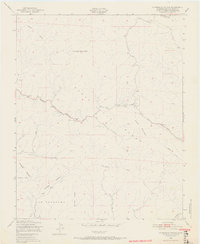
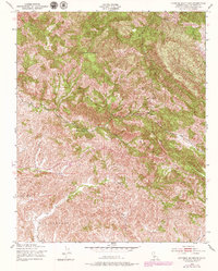
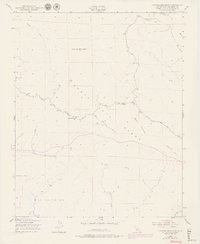
Cypress Mountain and Black Mountain anchor this portion of the Santa Lucia Range in San Luis Obispo County. The 1948 terrain is marked by industrial activity and local education, notably the Klau Mine and Oceanic Mine, which signal the region's historical mineral extraction. Along Santa Rosa Creek Road, the Mammoth Rock Sch serves as a reminder of the small rural communities that once dotted these valleys.
Find a feature on this map
15 named features on this map. Tap any name to fly to it.
Don’t see what you’re looking for? This feature index may not catch every label — zoom into the map to look around manually.
Map Details
Editions of this 1948 Cypress Mountain Map
7 editions found
Other maps of this area

1897 · Cayucos
USGS Topo · 1:62,500

1900 · San Luis
USGS Topo · 1:125,000

1919 · Adelaida
USGS Topo · 1:62,500

1919 · San Simeon
USGS Topo · 1:62,500

1932 · Adelaida
USGS Topo · 1:62,500

1937 · Cayucos
USGS Topo · 1:62,500

1937 · San Simeon
USGS Topo · 1:62,500

1942 · Adelaida
USGS Topo · 1:62,500

1943 · Cayucos
USGS Topo · 1:62,500

1947 · San Luis Obispo
USGS Topo · 1:250,000