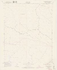
1948 Map of Cypress Mountain
USGS Topo · Published 1979About this map
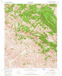
The Santa Lucia Range dominates this landscape, where the ridges of Cypress Mountain and Black Mountain overlook a network of creek drainages that flow toward the coast. Mining activity is a defining historical feature of this region, evidenced by the Klau Mine in the north and the Oceanic Mine further south. These sites, along with smaller unnamed workings marked simply as Mine, reflect the extractive economy of these coastal mountains during the mid-20th century.
Find a feature on this map
21 named features on this map. Tap any name to fly to it.
Don’t see what you’re looking for? This feature index may not catch every label — zoom into the map to look around manually.
Map Details
Editions of this 1948 Cypress Mountain Map
7 editions found
Other maps of this area

1897 · Cayucos
USGS Topo · 1:62,500

1900 · San Luis
USGS Topo · 1:125,000

1919 · Adelaida
USGS Topo · 1:62,500

1919 · San Simeon
USGS Topo · 1:62,500

1932 · Adelaida
USGS Topo · 1:62,500

1937 · Cayucos
USGS Topo · 1:62,500

1937 · San Simeon
USGS Topo · 1:62,500

1942 · Adelaida
USGS Topo · 1:62,500

1943 · Cayucos
USGS Topo · 1:62,500

1947 · San Luis Obispo
USGS Topo · 1:250,000