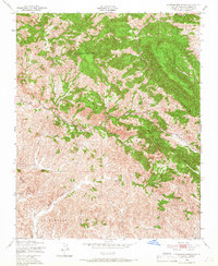
1948 Map of Cypress Mountain
USGS Topo · Published 1966About this map
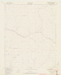
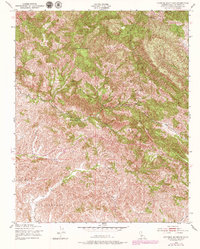
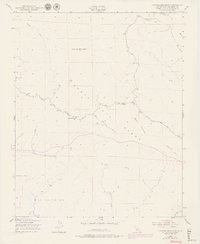
The high peaks of the Santa Lucia Range dominate this late-1940s landscape, where mining interests and cattle ranching once carved out a living in the steep coastal mountains. The Oceanic Mine stands as a prominent industrial landmark on the western slopes, reflecting the region's mercury-mining legacy. Downslope, the drainage systems of Santa Rosa Creek and Villa Creek define the natural boundaries and migration routes through the valleys. Large landholdings are evidenced by the expansive Santa Rosa Indefinite Boundary and the San Geronimo area. These topographic details, captured via aerial photography by the Army Map Service, show the primitive state of the Cambria Road and Paso Robles Road as they navigate the ridges near Cypress Mountain and the imposing Black Mountain.
Find a feature on this map
15 named features on this map. Tap any name to fly to it.
Don’t see what you’re looking for? This feature index may not catch every label — zoom into the map to look around manually.
Map Details
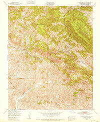
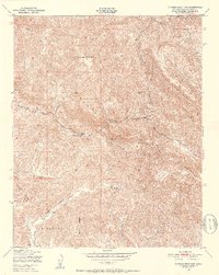
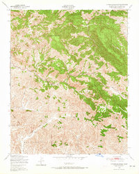
Editions of this 1948 Cypress Mountain Map
7 editions found
Other maps of this area

1897 · Cayucos
USGS Topo · 1:62,500

1900 · San Luis
USGS Topo · 1:125,000

1919 · Adelaida
USGS Topo · 1:62,500

1919 · San Simeon
USGS Topo · 1:62,500

1932 · Adelaida
USGS Topo · 1:62,500

1937 · Cayucos
USGS Topo · 1:62,500

1937 · San Simeon
USGS Topo · 1:62,500

1942 · Adelaida
USGS Topo · 1:62,500

1943 · Cayucos
USGS Topo · 1:62,500

1947 · San Luis Obispo
USGS Topo · 1:250,000