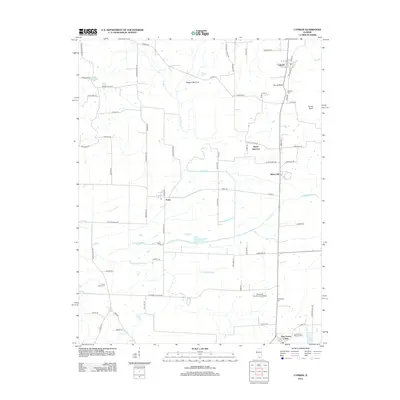
2012 Map of Cypress
USGS Topo · Published 2012About this map
Cypress and the southern Illinois lowlands are defined by the intricate hydrology of the Cache River and its various tributaries like Cypress Cr and Adds Br. This landscape is marked by a complex system of drainage and marshy features, including the elongated Limekiln Slough and the lower Hogans Bottoms. The area transitions from the higher elevations of Round Bluff and Turner Bluff down toward the wet flats where the Cache River flows.
Find a feature on this map
77 named features on this map. Tap any name to fly to it.
Don’t see what you’re looking for? This feature index may not catch every label — zoom into the map to look around manually.
Map Details
Editions of this 2012 Cypress Map
This is the sole edition of this map. No revisions or reprints were ever made.
Other maps of this area

1918 · Vienna
USGS Topo · 1:62,500

1919 · Vienna
USGS Topo · 1:62,500

1920 · Dongola
USGS Topo · 1:62,500

1923 · Dongola
USGS Topo · 1:62,500

1928 · La Center
USGS Topo · 1:62,500

1931 · Cairo
USGS Topo · 1:62,500

1932 · La Center
USGS Topo · 1:62,500

1933 · Cairo
USGS Topo · 1:62,500

1939 · Cairo
USGS Topo · 1:62,500

1942 · Vienna
USGS Topo · 1:62,500