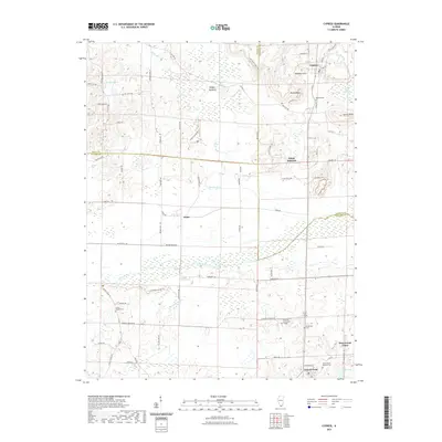
2021 Map of Cypress
USGS Topo · Published 2021About this map
Cypress and Perks occupy a landscape defined by the complex hydrology of the Cache River basin, where the triple borders of Johnson, Union, and Pulaski counties meet. This 2021 study reveals a region characterized by low-lying wetlands and significant natural features like Limekiln Slough and Little Black Slough, interspersed with prominent elevations such as Round Bluff and Turner Bluff. The southern portion of the map shows the proximity of Grand Chain and New Grand Chain near the Ulrich Lake area, reflecting a long-standing pattern of settlement near the river's fertile bottomlands.
Find a feature on this map
78 named features on this map. Tap any name to fly to it.
Don’t see what you’re looking for? This feature index may not catch every label — zoom into the map to look around manually.
Map Details
Editions of this 2021 Cypress Map
This is the sole edition of this map. No revisions or reprints were ever made.
Other maps of this area

1918 · Vienna
USGS Topo · 1:62,500

1919 · Vienna
USGS Topo · 1:62,500

1920 · Dongola
USGS Topo · 1:62,500

1923 · Dongola
USGS Topo · 1:62,500

1928 · La Center
USGS Topo · 1:62,500

1931 · Cairo
USGS Topo · 1:62,500

1932 · La Center
USGS Topo · 1:62,500

1933 · Cairo
USGS Topo · 1:62,500

1939 · Cairo
USGS Topo · 1:62,500

1942 · Vienna
USGS Topo · 1:62,500