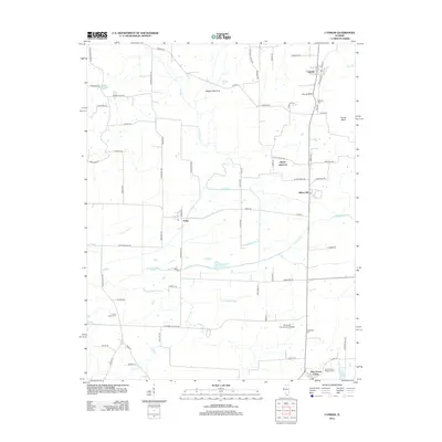
2024 Map of Cypress
USGS Topo · Published 2024About this map
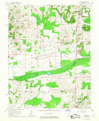
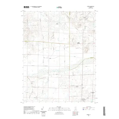
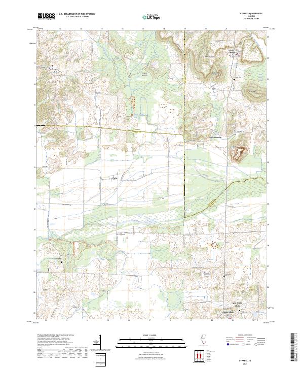
Cypress Creek National Wildlife Refuge dominates this section of Southern Illinois, where the complex hydrology of the Cache River and Cypress Creek defines the landscape. The map captures a transition from the wetland environments of Little Black Slough and Hogans Bottoms to the established settlements of Cypress and Perks. Educational and community infrastructure is represented by Shawnee Community College and several historic burial grounds, including Cache Chapel Cem and Grand Chain Masonic Cem. The presence of Joppa Junction and the path of the Cache River suggest a longstanding history of transportation and water management in a region where the borders of Union, Johnson, and Pulaski counties converge.
Find a feature on this map
83 named features on this map. Tap any name to fly to it.
Don’t see what you’re looking for? This feature index may not catch every label — zoom into the map to look around manually.
Map Details
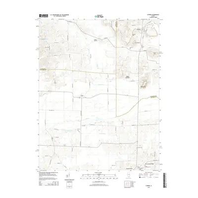
Editions of this 2024 Cypress Map
This is the sole edition of this map. No revisions or reprints were ever made.
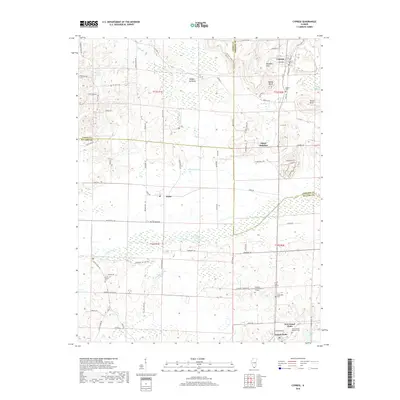
Historical Maps of Cypress Through Time
6 maps found