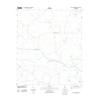
2012 Map of Dabney Crossroads
USGS Topo · Published 2012About this map
White Oak Creek and its many tributaries, including Little White Oak Creek and Clear Creek, create a deeply etched drainage pattern across this rural Hinds County landscape. The settlement of Thompsonville sits near the center of the sheet, while the namesake Dabney Crossroads serves as a northern focal point for local travel. The road network is heavily defined by family names and local landmarks, tracing a history of land ownership and community development.
Find a feature on this map
64 named features on this map. Tap any name to fly to it.
Don’t see what you’re looking for? This feature index may not catch every label — zoom into the map to look around manually.
Map Details
Editions of this 2012 Dabney Crossroads Map
This is the sole edition of this map. No revisions or reprints were ever made.
Other maps of this area

1903 · Jackson
USGS Topo · 1:125,000

1937 · Terry
USGS Topo · 1:48,000

1943 · Terry
USGS Topo · 1:62,500

1953 · Natchez
USGS Topo · 1:250,000

1955 · Jackson
USGS Topo · 1:250,000

1956 · Natchez
USGS Topo · 1:250,000

1959 · Natchez
USGS Topo · 1:250,000

1961 · Jackson
USGS Topo · 1:250,000

1962 · Jackson
USGS Topo · 1:250,000

1963 · Dentville
USGS Topo · 1:24,000