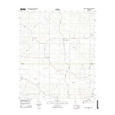
2015 Map of Dabney Crossroads
USGS Topo · Published 2015About this map
Dabney Crossroads sits at a rural intersection north of the Hinds and Copiah county line, marking a landscape defined by meandering creek systems and local family road names. The area around Thompsonville and the nearby White Oak Creek drainage reflects the traditional agricultural and timber patterns of central Mississippi. Genealogists and local historians will find significant value in the documentation of several burial sites, including Miller Springs Cem, New Zion Cem, and the Old Crystal Springs Cem. The terrain is characterized by intricate watercourses such as Little Tallahalla Cr and Little White Oak Cr, which shaped the early settlement and transport routes of the region. The map preserves the specific locations of long-standing community landmarks like Old Crystal Springs and the surrounding woodlands of Turkey Hollow.
Find a feature on this map
61 named features on this map. Tap any name to fly to it.
Don’t see what you’re looking for? This feature index may not catch every label — zoom into the map to look around manually.
Map Details
Editions of this 2015 Dabney Crossroads Map
This is the sole edition of this map. No revisions or reprints were ever made.
Other maps of this area

1903 · Jackson
USGS Topo · 1:125,000

1937 · Terry
USGS Topo · 1:48,000

1943 · Terry
USGS Topo · 1:62,500

1953 · Natchez
USGS Topo · 1:250,000

1955 · Jackson
USGS Topo · 1:250,000

1956 · Natchez
USGS Topo · 1:250,000

1959 · Natchez
USGS Topo · 1:250,000

1961 · Jackson
USGS Topo · 1:250,000

1962 · Jackson
USGS Topo · 1:250,000

1963 · Dentville
USGS Topo · 1:24,000