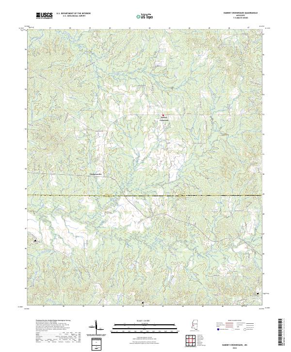
2024 Map of Dabney Crossroads
USGS Topo · Published 2024About this map
Dabney Crossroads sits at the center of this rural landscape where the headwaters of Little White Oak Creek and White Oak Creek begin their descent toward the county line. The terrain is defined by low-lying drainages like Alford Branch and Little Tallahalla Creek, which cut through a network of local roads including Chapel Hill Rd and Dry Grove Rd. To the north, Pleasant Lakes Ridge overlooks the basin of Dulaney Lake.
Find a feature on this map
58 named features on this map. Tap any name to fly to it.
Don’t see what you’re looking for? This feature index may not catch every label — zoom into the map to look around manually.
Map Details
Editions of this 2024 Dabney Crossroads Map
This is the sole edition of this map. No revisions or reprints were ever made.
Other maps of this area

1903 · Jackson
USGS Topo · 1:125,000

1937 · Terry
USGS Topo · 1:48,000

1943 · Terry
USGS Topo · 1:62,500

1953 · Natchez
USGS Topo · 1:250,000

1955 · Jackson
USGS Topo · 1:250,000

1956 · Natchez
USGS Topo · 1:250,000

1959 · Natchez
USGS Topo · 1:250,000

1961 · Jackson
USGS Topo · 1:250,000

1962 · Jackson
USGS Topo · 1:250,000

1963 · Dentville
USGS Topo · 1:24,000