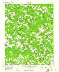
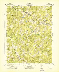
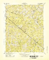
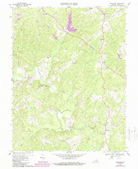
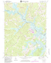
1943 Map of Dabneys
USGS Topo · Published 1961This historical map portrays the area of Dabneys in 1943, primarily covering Louisa County as well as portions of Hanover County and Goochland County. Featuring a scale of 1:24000, this map provides a highly detailed snapshot of the terrain, roads, buildings, counties, and historical landmarks in the Dabneys region at the time. Published in 1961, it is the sole known edition of this map.
Find a feature on this map
31 named features on this map. Tap any name to fly to it.
Don’t see what you’re looking for? This feature index may not catch every label — zoom into the map to look around manually.
Map Details
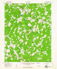
Editions of this 1943 Dabneys Map
This is the sole edition of this map. No revisions or reprints were ever made.
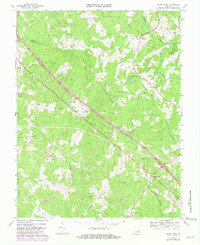
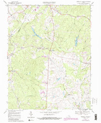
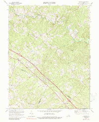
Historical Maps of Dongola Through Time
18 maps found
1942 Buckner
Louisa County, VA
1942 Contrary Creek
Louisa County, VA
1942 Pendleton
Louisa County, VA
1943 Buckner
Louisa County, VA
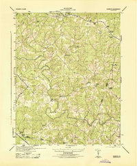
1943 Dabneys
Louisa County, VA
1943 Pendleton
Louisa County, VA
1943 South Anna
Louisa County, VA
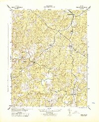
1944 Dabneys
Louisa County, VA
1944 South Anna
Louisa County, VA
1968 Buckner
Louisa County, VA
1968 Contrary Creek
Louisa County, VA
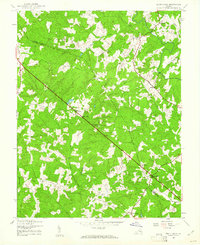
1968 Dabneys
Louisa County, VA
1968 Pendleton
Louisa County, VA
1968 South Anna
Louisa County, VA
1970 Boswells Tavern
Louisa County, VA
1970 Ferncliff
Louisa County, VA
1973 Lake Anna West
Louisa County, VA
1977 Boswells Tavern
Louisa County, VA