1969 Map of Dacoma
USGS Topo · Published 1976About this map
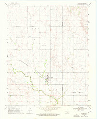
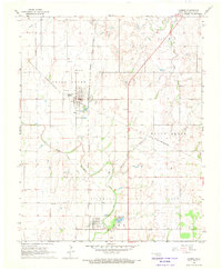
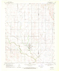
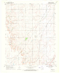
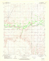
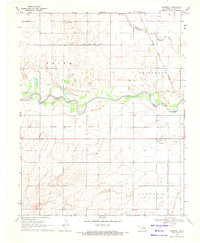
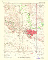
Dacoma serves as the primary hub of this 1969 field-checked landscape, where the St Louis - San Francisco railroad cuts a diagonal path through the prairie. The town's grid is oriented strictly to the cardinal directions, contrasting with the sinuous course of Eagle Chief Creek and a nearby Lake to the northwest. This survey captures a rural environment defined by sectional divisions and the underlying energy economy, evidenced by several scattered Oil Wells and Gas Wells.
Find a feature on this map
14 named features on this map. Tap any name to fly to it.
Don’t see what you’re looking for? This feature index may not catch every label — zoom into the map to look around manually.
Map Details
Editions of this 1969 Dacoma Map
2 editions found
Other maps of this area

1955 · Woodward
USGS Topo · 1:250,000

1958 · Woodward
USGS Topo · 1:250,000
1968 · Carmen
USGS Topo · 1:24,000
1969 · Dacoma
USGS Topo · 1:24,000
1969 · Lambert
USGS Topo · 1:24,000
1969 · Alva SE
USGS Topo · 1:24,000
1969 · Dacoma SW
USGS Topo · 1:24,000
1969 · Hopeton
USGS Topo · 1:24,000
1969 · Ingersoll
USGS Topo · 1:24,000
1969 · Alva
USGS Topo · 1:24,000