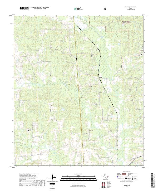
2022 Map of Dacus
USGS Topo · Published 2022About this map
The border of Grimes Co and Montgomery Co runs through this landscape of the Texas Piney Woods, where the settlement of Dacus sits at the junction of FM 1486 and local routes. This area is defined by its extensive network of watercourses, including the meandering Lake Creek and its many tributaries like Little Caney Creek and Kidhaw Branch. Much of the northeast corner is occupied by the protected lands of the Sam Houston National Forest, providing a sharp contrast to the surrounding residential road networks such as Deer Run St and Granite Ridge Dr. For those tracing local family history, several burial sites are preserved across the quadrangle, including the Bethel Cemetery near the forest edge, Waller Cemetery, and the Post Oak Cemetery further south, each serving as a vital link to the rural communities of this region.
Find a feature on this map
66 named features on this map. Tap any name to fly to it.
Don’t see what you’re looking for? This feature index may not catch every label — zoom into the map to look around manually.
Map Details
Editions of this 2022 Dacus Map
This is the sole edition of this map. No revisions or reprints were ever made.
Other maps of this area

1954 · Beaumont
USGS Topo · 1:250,000

1957 · Beaumont
USGS Topo · 1:250,000

1959 · San Jacinto
USGS Topo · 1:24,000

1959 · Montgomery
USGS Topo · 1:24,000

1961 · Anderson
USGS Topo · 1:24,000

1961 · Stoneham
USGS Topo · 1:24,000

1962 · Keenan
USGS Topo · 1:24,000

1962 · Dacus
USGS Topo · 1:24,000

1962 · Plantersville
USGS Topo · 1:24,000

1962 · Richards
USGS Topo · 1:24,000