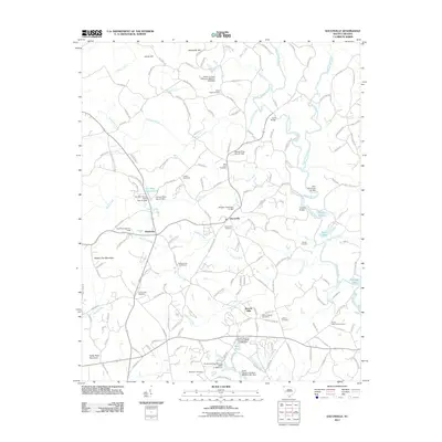
2011 Map of Dacusville
USGS Topo · Published 2011About this map
Dacusville and the surrounding Upstate South Carolina countryside are defined by the convergence of the North Saluda River and South Saluda River. This topographic study reveals a landscape shaped by water management, featuring numerous private impoundments such as Philpat Pond Dam and Jamason Pond Dam. The terrain is marked by prominent elevations like Hickory Nut Mountain and Cedar Rock Mountain, which overlook a network of rural roads and family-named landmarks.
Find a feature on this map
167 named features on this map. Tap any name to fly to it.
Don’t see what you’re looking for? This feature index may not catch every label — zoom into the map to look around manually.
Map Details
Editions of this 2011 Dacusville Map
This is the sole edition of this map. No revisions or reprints were ever made.
Other maps of this area

1888 · Pickens
USGS Topo · 1:125,000

1894 · Pickens
USGS Topo · 1:125,000

1905 · Pisgah
USGS Topo · 1:125,000

1906 · Pisgah
USGS Topo · 1:125,000

1907 · Saluda
USGS Topo · 1:125,000

1935 · Greenville
USGS Topo · 1:48,000

1935 · Table Rock
USGS Topo · 1:24,000

1938 · Greenville
USGS Topo · 1:62,500
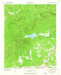
1946 · Table Rock
USGS Topo · 1:24,000
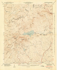
1947 · Table Rock
USGS Topo · 1:24,000