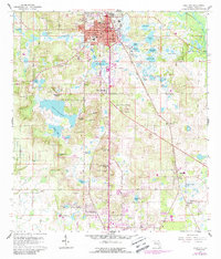
1960 Map of Dade City
USGS Topo · Published 1988About this map
Dade City and its surrounding citrus and lake country are the focus of this mid-century survey, revised to show the infrastructure of the late 1980s. The dense grid of the city center is framed by neighborhoods like Tommytown and Clinton Heights, while the local economy is anchored by the Seaboard Coast Line railroad and local institutions such as Pasco High Sch and Mickens Sch. To the south, the landscape transitions into a mosaic of water bodies, including Lake Pasadena and Buddy Lake, interspersed with named hills like Nursery Hill and Le Heup Hill.
Find a feature on this map
86 named features on this map. Tap any name to fly to it.
Don’t see what you’re looking for? This feature index may not catch every label — zoom into the map to look around manually.
Map Details
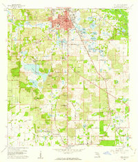
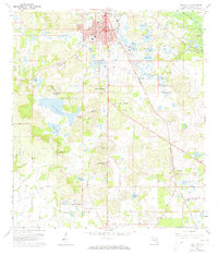
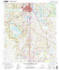
Editions of this 1960 Dade City Map
4 editions found
Other maps of this area

1944 · Wesley Chapel
USGS Topo · 1:31,680

1944 · Socrum
USGS Topo · 1:31,680

1947 · Zephyrhills
USGS Topo · 1:24,000

1954 · Spring Lake
USGS Topo · 1:24,000

1954 · San Antonio
USGS Topo · 1:24,000

1955 · Plant City
USGS Topo · 1:250,000

1958 · Plant City
USGS Topo · 1:250,000

1959 · Plant City
USGS Topo · 1:250,000

1960 · Lacoochee
USGS Topo · 1:24,000

1960 · Branchborough
USGS Topo · 1:24,000