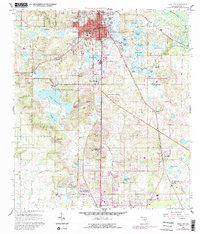
1960 Map of Dade City
USGS Topo · Published 1988About this map
Dade City serves as the focal point of this Pasco County survey, showcasing a landscape defined by its numerous lakes and developing mid-century residential pockets. To the west, the community of Saint Leo and the residential clusters of Clinton Heights and South Clinton Heights mark the post-war growth of the region. The map highlights a significant network of water bodies, including the large Lake Pasadena, Buddy Lake, and the uniquely named Knee Deep Lake.
Find a feature on this map
69 named features on this map. Tap any name to fly to it.
Don’t see what you’re looking for? This feature index may not catch every label — zoom into the map to look around manually.
Map Details
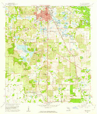
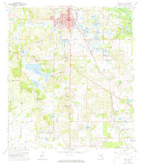
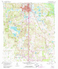
Editions of this 1960 Dade City Map
4 editions found
Other maps of this area

1944 · Wesley Chapel
USGS Topo · 1:31,680

1944 · Socrum
USGS Topo · 1:31,680

1947 · Zephyrhills
USGS Topo · 1:24,000

1954 · Spring Lake
USGS Topo · 1:24,000

1954 · San Antonio
USGS Topo · 1:24,000

1955 · Plant City
USGS Topo · 1:250,000

1958 · Plant City
USGS Topo · 1:250,000

1959 · Plant City
USGS Topo · 1:250,000

1960 · Lacoochee
USGS Topo · 1:24,000

1960 · Branchborough
USGS Topo · 1:24,000