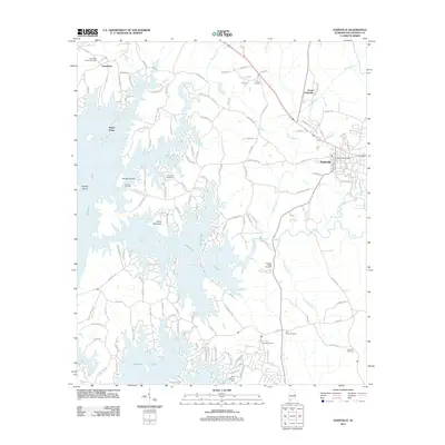
2011 Map of Dadeville
USGS Topo · Published 2011About this map
Lake Martin dominates the western half of this landscape, its intricate shoreline carving out numerous peninsulas and points such as Piney Point and Greenbriar. This 2011 survey reveals the modern residential development surrounding the water, with countless roads like Madwind Rd and Youngs Ferry Rd weaving through the hills toward the shore. The terrain is anchored by Smith Mountain, overlooking the vast reservoir created by the impoundment of the Tallapoosa River system.
Find a feature on this map
120 named features on this map. Tap any name to fly to it.
Don’t see what you’re looking for? This feature index may not catch every label — zoom into the map to look around manually.
Map Details
Editions of this 2011 Dadeville Map
This is the sole edition of this map. No revisions or reprints were ever made.
Other maps of this area

1906 · Dadeville
USGS Topo · 1:125,000

1955 · Phenix City
USGS Topo · 1:250,000

1957 · Phenix City
USGS Topo · 1:250,000

1958 · Phenix City
USGS Topo · 1:250,000
1971 · Dadeville
USGS Topo · 1:24,000

1971 · Ponders
USGS Topo · 1:24,000
1971 · Alexander City
USGS Topo · 1:24,000
1971 · Buttston
USGS Topo · 1:24,000
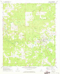
1971 · Camp Hill
USGS Topo · 1:24,000

1971 · Thornton
USGS Topo · 1:24,000