2024 Map of Dahlen
USGS Topo · Published 2024About this map
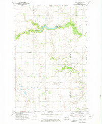
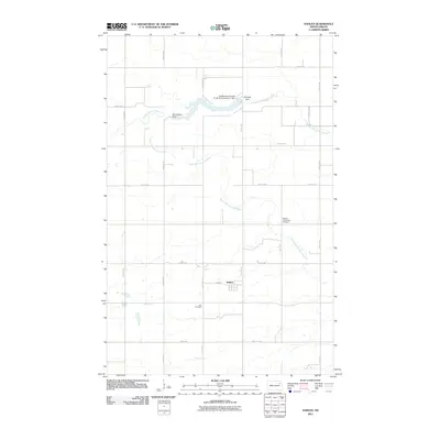
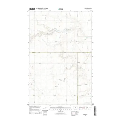
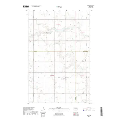
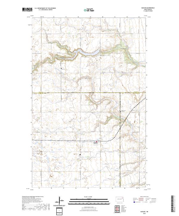
Dahlen sits at the heart of this Nelson County landscape, where the prairie is defined by the winding paths of the Middle Branch Forest River and the South Branch Forest River. The settlement pattern reflects the enduring agricultural character of the region, centered around a grid of section roads including 1st Ave and Main St. Local heritage is preserved in several rural burying grounds, such as Zion Cem, Quale Cem, and the Middle Forest River Cem, which serve as significant landmarks for genealogists tracing early families of the area. The presence of Cleveland Park near the river bluffs indicates a community space carved out of the surrounding farmland. This modern U.S. Geological Survey data illustrates how contemporary boundaries, like those between Walsh, Nelson, and Grand Forks counties, intersect with the natural drainage systems that have shaped this portion of North Dakota for generations.
Find a feature on this map
32 named features on this map. Tap any name to fly to it.
Don’t see what you’re looking for? This feature index may not catch every label — zoom into the map to look around manually.
Map Details
Editions of this 2024 Dahlen Map
This is the sole edition of this map. No revisions or reprints were ever made.
Historical Maps of Dahlen Through Time
6 maps found