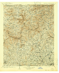
1903 Map of Dahlonega
USGS Topo · Published 1942About this map
Dahlonega and the surrounding gold-mining region of the Georgia mountains are depicted here based on surveys from the late 1800s. The landscape is dominated by the Tallulah Mountains and landmarks like Brasstown Bald, which rises above the settlement of Young Harris. This era shows a network of early mountain communities, including Blairsville, Clarkesville, and the now-incorporated Demorest on the Southern Railway.
Find a feature on this map
174 named features on this map. Tap any name to fly to it.
Don’t see what you’re looking for? This feature index may not catch every label — zoom into the map to look around manually.
Map Details
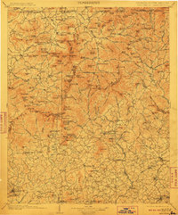
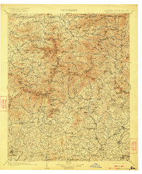
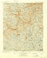
Editions of this 1903 Dahlonega Map
5 editions found

Other maps of this area

1886 · Dahlonega
USGS Topo · 1:125,000

1886 · Walhalla
USGS Topo · 1:125,000

1888 · Ellijay
USGS Topo · 1:125,000

1890 · Suwanee
USGS Topo · 1:125,000

1891 · Cowee
USGS Topo · 1:125,000

1891 · Gainesville
USGS Topo · 1:125,000

1891 · Carnesville
USGS Topo · 1:125,000

1892 · Dahlonega
USGS Topo · 1:125,000

1892 · Walhalla
USGS Topo · 1:125,000

1892 · Ellijay
USGS Topo · 1:125,000