
1903 Map of Dahlonega
USGS Topo · Published 1903About this map
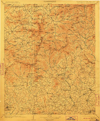
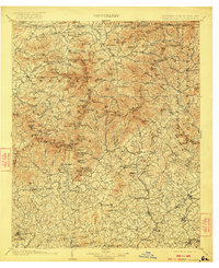
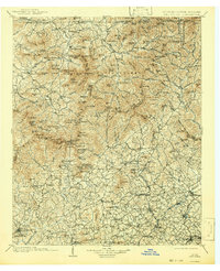
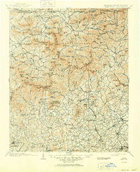
The Dahlonega gold belt and the high peaks of the Blue Ridge define this landscape at the opening of the twentieth century. The map centers on the transition from the mountain ridges of Brasstown Bald and the Loras Range Mts. down toward the valley settlements of Cleveland and Clarkesville. The drainage patterns of the Chestatee River and Chattahoochee River are intricately detailed, showing the network of creeks that supported early mountain agriculture and industry.
Find a feature on this map
218 named features on this map. Tap any name to fly to it.
Don’t see what you’re looking for? This feature index may not catch every label — zoom into the map to look around manually.
Map Details
Editions of this 1903 Dahlonega Map
5 editions found
Other maps of this area

1886 · Dahlonega
USGS Topo · 1:125,000

1886 · Walhalla
USGS Topo · 1:125,000

1888 · Ellijay
USGS Topo · 1:125,000

1890 · Suwanee
USGS Topo · 1:125,000

1891 · Cowee
USGS Topo · 1:125,000

1891 · Gainesville
USGS Topo · 1:125,000

1891 · Carnesville
USGS Topo · 1:125,000

1892 · Dahlonega
USGS Topo · 1:125,000

1892 · Walhalla
USGS Topo · 1:125,000

1892 · Ellijay
USGS Topo · 1:125,000