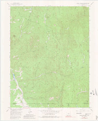
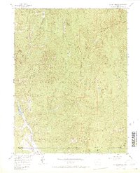
1956 Map of Dakan Mountain
USGS Topo · Published 1980About this map
The Rampart Range dominates this mid-century survey of the high country in northern Douglas County. The landscape is defined by its dramatic relief and watercourses, including the network of drainage systems such as Illinois Gulch and Missouri Gulch. While largely part of the Pike National Forest, the map reveals localized industrial and recreational activity, including a Mine near Dakan Mountain and another Quarry to the south. Rainbow Falls Park and Saylor Park appear as distinct clearings or landmarks within the heavy timber. High points like Turtle Mountain and Storm Peak provide orientation for the remote trails and tracks, including the Rampart Range Road and various Jeep Trails that provided access for mid-century forestry and recreation.
Find a feature on this map
32 named features on this map. Tap any name to fly to it.
Don’t see what you’re looking for? This feature index may not catch every label — zoom into the map to look around manually.
Map Details
Editions of this 1956 Dakan Mountain Map
7 editions found
Other maps of this area

1893 · Platte Canyon
USGS Topo · 1:125,000

1894 · Castle Rock
USGS Topo · 1:125,000

1913 · Castle Rock
USGS Topo · 1:125,000

1940 · Castle Rock
USGS Topo · 1:62,500

1945 · Castle Rock
USGS Topo · 1:62,500

1953 · Denver
USGS Topo · 1:250,000

1954 · Devils Head
USGS Topo · 1:24,000

1954 · Deckers
USGS Topo · 1:24,000

1954 · Mount Deception
USGS Topo · 1:24,000
1954 · Palmer Lake
USGS Topo · 1:24,000