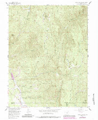
1956 Map of Dakan Mountain
USGS Topo · Published 1985About this map
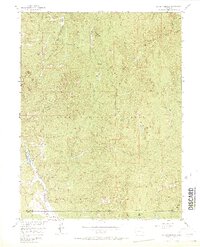
Dakan Mountain and the high peaks of the Rampart Range dominate this mid-century survey of the Pike National Forest in Douglas County. The landscape is defined by a dense network of gulches and creeks, such as Illinois Gulch and Missouri Gulch, which indicate the complex drainage patterns of the eastern Rockies. While much of the area is undeveloped forest land, small-scale industrial activity is evidenced by a Mine and a Quarry located near the southern reaches of the quadrangle.
Find a feature on this map
26 named features on this map. Tap any name to fly to it.
Don’t see what you’re looking for? This feature index may not catch every label — zoom into the map to look around manually.
Map Details
Editions of this 1956 Dakan Mountain Map
7 editions found
Other maps of this area

1893 · Platte Canyon
USGS Topo · 1:125,000

1894 · Castle Rock
USGS Topo · 1:125,000

1913 · Castle Rock
USGS Topo · 1:125,000

1940 · Castle Rock
USGS Topo · 1:62,500

1945 · Castle Rock
USGS Topo · 1:62,500

1953 · Denver
USGS Topo · 1:250,000

1954 · Devils Head
USGS Topo · 1:24,000

1954 · Deckers
USGS Topo · 1:24,000

1954 · Mount Deception
USGS Topo · 1:24,000
1954 · Palmer Lake
USGS Topo · 1:24,000