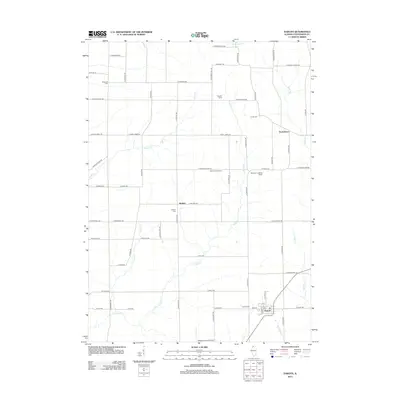
2012 Map of Dakota
USGS Topo · Published 2012About this map
The village of Dakota serves as the southern anchor for this rural Stephenson County landscape, where the agricultural character of Northern Illinois is preserved in family-run operations like Busjahn Farms and Hickory Grove Dairy. This 2012 survey illustrates a classic Midwestern grid of section roads and drainage patterns, with the waters of Rock Run and Cedar Cr carving through the prairie. Smaller hamlets and historical focal points such as Rock Grove and Afolkey punctuate the northern and central sections, linked by a network of local routes like N Afolkey Rd and N Dakota Rd.
Find a feature on this map
67 named features on this map. Tap any name to fly to it.
Don’t see what you’re looking for? This feature index may not catch every label — zoom into the map to look around manually.
Map Details
Editions of this 2012 Dakota Map
This is the sole edition of this map. No revisions or reprints were ever made.
Other maps of this area

1893 · Brodhead
USGS Topo · 1:62,500

1920 · Monroe
USGS Topo · 1:62,500

1922 · Monroe
USGS Topo · 1:62,500

1932 · Pecatonica
USGS Topo · 1:62,500

1936 · Pecatonica
USGS Topo · 1:62,500

1939 · Freeport
USGS Topo · 1:48,000

1944 · Freeport
USGS Topo · 1:62,500

1954 · Rockford
USGS Topo · 1:250,000

1955 · Rockford
USGS Topo · 1:250,000

1958 · Rockford
USGS Topo · 1:250,000