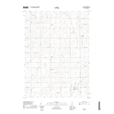
2018 Map of Dakota
USGS Topo · Published 2018About this map
Dakota and its surrounding Stephenson County countryside are defined by a network of creeks and small agricultural hubs. The village of Dakota sits in the southeastern quadrant, near the Dakota Cem and the Freeport/Dornink Airport, while the unincorporated communities of Afolkey and Rock Grove anchor the central and northern reaches. The landscape is deeply dissected by several watercourses, including Cedar Cr, which flows southward through the heart of the area, and Winneshiek Cr to the east.
Find a feature on this map
69 named features on this map. Tap any name to fly to it.
Don’t see what you’re looking for? This feature index may not catch every label — zoom into the map to look around manually.
Map Details
Editions of this 2018 Dakota Map
This is the sole edition of this map. No revisions or reprints were ever made.
Other maps of this area

1893 · Brodhead
USGS Topo · 1:62,500

1920 · Monroe
USGS Topo · 1:62,500

1922 · Monroe
USGS Topo · 1:62,500

1932 · Pecatonica
USGS Topo · 1:62,500

1936 · Pecatonica
USGS Topo · 1:62,500

1939 · Freeport
USGS Topo · 1:48,000

1944 · Freeport
USGS Topo · 1:62,500

1954 · Rockford
USGS Topo · 1:250,000

1955 · Rockford
USGS Topo · 1:250,000

1958 · Rockford
USGS Topo · 1:250,000