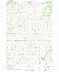
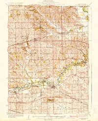
1971 Map of Dakota
USGS Topo · Published 1974About this map
The unincorporated settlement of Afolkey sits at a crossing of rural routes in northern Stephenson County, surrounded by a landscape defined by organized agricultural plots and winding drainage systems. Bethel Ch serves as a local landmark in this community, while further north, the village of Rock Grove anchors the township of the same name. The terrain is marked by the presence of Brush Creek and Cedar Creek, which carve through the till plains, alongside numerous small extractive sites like Quarry and Gravel Pit that speak to the local geology.
Find a feature on this map
91 named features on this map. Tap any name to fly to it.
Don’t see what you’re looking for? This feature index may not catch every label — zoom into the map to look around manually.
Map Details
Editions of this 1971 Dakota Map
This is the sole edition of this map. No revisions or reprints were ever made.
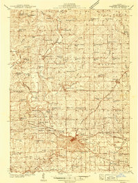
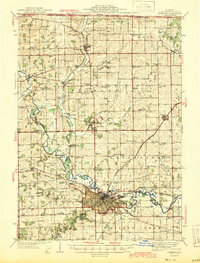
Other maps of this area

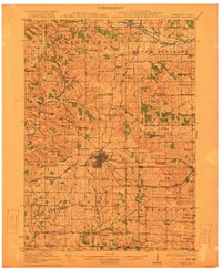
1893 · Brodhead
USGS Topo · 1:62,500
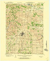
1920 · Monroe
USGS Topo · 1:62,500
1922 · Monroe
USGS Topo · 1:62,500
1932 · Pecatonica
USGS Topo · 1:62,500
1936 · Pecatonica
USGS Topo · 1:62,500
1939 · Freeport
USGS Topo · 1:48,000
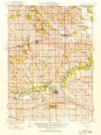
1944 · Freeport
USGS Topo · 1:62,500

1954 · Rockford
USGS Topo · 1:250,000

1955 · Rockford
USGS Topo · 1:250,000

1958 · Rockford
USGS Topo · 1:250,000