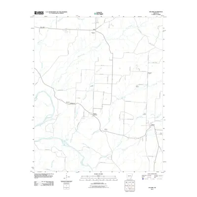
2011 Map of Dalark
USGS Topo · Published 2011About this map
Gravel Junction and Griffithtown anchor the central corridor of this Clark County landscape, where the Ouachita River meanders along the western edge. This 2011 survey reveals a territory defined by its rural road network and numerous family and community burial grounds, including the Bethlehem Cemetery near Joan and the McClanahan Cemetery to the southwest. The drainage pattern is complex, with L'Eau Frais Creek, Mill Creek, and Casa Massa Creek carving through the terrain.
Find a feature on this map
69 named features on this map. Tap any name to fly to it.
Don’t see what you’re looking for? This feature index may not catch every label — zoom into the map to look around manually.
Map Details
Editions of this 2011 Dalark Map
This is the sole edition of this map. No revisions or reprints were ever made.
Other maps of this area

1901 · Gurdon
USGS Topo · 1:125,000

1903 · Camden
USGS Topo · 1:125,000

1953 · El Dorado
USGS Topo · 1:250,000

1955 · Little Rock
USGS Topo · 1:250,000

1956 · Little Rock
USGS Topo · 1:250,000

1957 · El Dorado
USGS Topo · 1:250,000

1958 · El Dorado
USGS Topo · 1:250,000

1959 · Caddo Valley
USGS Topo · 1:24,000

1959 · Arkadelphia
USGS Topo · 1:24,000

1960 · El Dorado
USGS Topo · 1:250,000