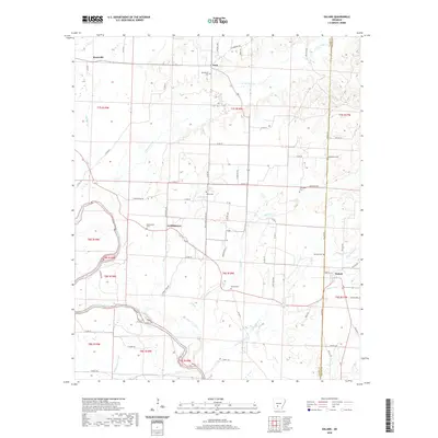
2020 Map of Dalark
USGS Topo · Published 2020About this map
Dalark and the surrounding timberlands of Clark and Dallas counties are defined by a network of creeks and small settlements centered near the Ouachita River. This landscape is particularly rich for genealogical research, as it preserves the locations of numerous family and community burial grounds, such as Bethlehem Cem, McClanahan Cem, and Atchley Cem. The terrain is characterized by the low-lying White Oak Slough and the winding paths of L'Eau Frais Cr and Pearson Cr. Small unincorporated communities like Griffithtown, Joan, and Knoxville are connected by a grid of rural county roads, including SW Reed Town Rd and Piney Grove Church Rd, illustrating the persistent agricultural and rural residential patterns of central Arkansas.
Find a feature on this map
68 named features on this map. Tap any name to fly to it.
Don’t see what you’re looking for? This feature index may not catch every label — zoom into the map to look around manually.
Map Details
Editions of this 2020 Dalark Map
This is the sole edition of this map. No revisions or reprints were ever made.
Other maps of this area

1901 · Gurdon
USGS Topo · 1:125,000

1903 · Camden
USGS Topo · 1:125,000

1953 · El Dorado
USGS Topo · 1:250,000

1955 · Little Rock
USGS Topo · 1:250,000

1956 · Little Rock
USGS Topo · 1:250,000

1957 · El Dorado
USGS Topo · 1:250,000

1958 · El Dorado
USGS Topo · 1:250,000

1959 · Caddo Valley
USGS Topo · 1:24,000

1959 · Arkadelphia
USGS Topo · 1:24,000

1960 · El Dorado
USGS Topo · 1:250,000