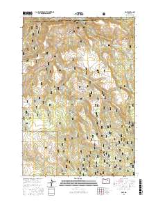
2017 Map of Dale
USGS Topo · Published 2017About this map
Dale sits at the northern edge of this Grant County landscape, where the North Fork John Day River cuts through the high country. This territory, largely defined by the Umatilla National Forest, is shaped by an intricate network of drainage systems including Desolation Cr, W Fork Meadow Brook, and Smith Cr. The map reveals a high-elevation environment marked by prominent clearings like Howard Meadows and Duff Meadows, which stand in contrast to the deep incisions of Deep Canyon and Spring Canyon.
Find a feature on this map
55 named features on this map. Tap any name to fly to it.
Don’t see what you’re looking for? This feature index may not catch every label — zoom into the map to look around manually.
Map Details
Editions of this 2017 Dale Map
This is the sole edition of this map. No revisions or reprints were ever made.
Other maps of this area

1950 · Ritter
USGS Topo · 1:62,500

1951 · Dale
USGS Topo · 1:62,500

1952 · Ritter
USGS Topo · 1:62,500

1953 · Pendleton
USGS Topo · 1:250,000

1955 · Canyon City
USGS Topo · 1:250,000

1956 · Pendleton
USGS Topo · 1:250,000

1959 · Canyon City
USGS Topo · 1:250,000

1967 · Ukiah SE
USGS Topo · 1:24,000

1967 · Bridge Creek
USGS Topo · 1:24,000

1969 · Deerhorn Creek
USGS Topo · 1:24,000