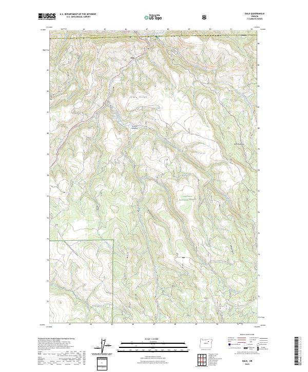
2023 Map of Dale
USGS Topo · Published 2023About this map
Dale sits at the northern edge of this rugged landscape where the North Fork John Day Wild and Scenic River forms the boundary between Umatilla and Grant Counties. The topography is dominated by the deeply carved drainages of Desolation Creek and Smith Creek, falling away from high points like Case Ridge. Within the Umatilla National Forest, the map reveals a network of high-elevation clearings and water sources essential to the region's management, including Howard Meadows, Duff Meadows, and Case Spring. The presence of Meadow Brooks Falls and several named canyons such as Spring Canyon and Deep Canyon illustrates the complex hydrologic character of the Blue Mountains. This contemporary survey details the Forest Service infrastructure, from Natl Forest Develop Road 3980 Rd to various trails and remote springs like Road Camp Spring.
Find a feature on this map
33 named features on this map. Tap any name to fly to it.
Don’t see what you’re looking for? This feature index may not catch every label — zoom into the map to look around manually.
Map Details
Editions of this 2023 Dale Map
This is the sole edition of this map. No revisions or reprints were ever made.
Other maps of this area

1950 · Ritter
USGS Topo · 1:62,500

1951 · Dale
USGS Topo · 1:62,500

1952 · Ritter
USGS Topo · 1:62,500

1953 · Pendleton
USGS Topo · 1:250,000

1955 · Canyon City
USGS Topo · 1:250,000

1956 · Pendleton
USGS Topo · 1:250,000

1959 · Canyon City
USGS Topo · 1:250,000

1967 · Ukiah SE
USGS Topo · 1:24,000

1967 · Bridge Creek
USGS Topo · 1:24,000

1969 · Deerhorn Creek
USGS Topo · 1:24,000